


RESEPI Velodyne VLP-16 Drone LiDAR Kit
$20,519.40
180 in stock
Description
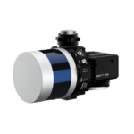
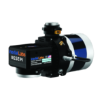
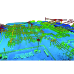
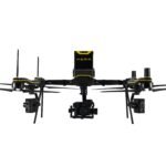
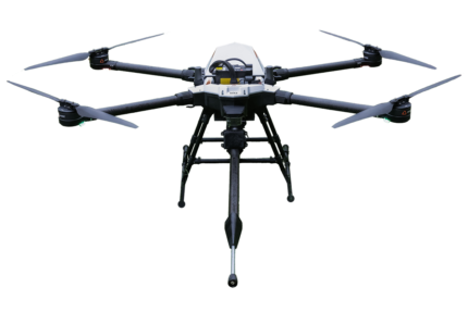
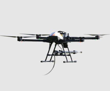
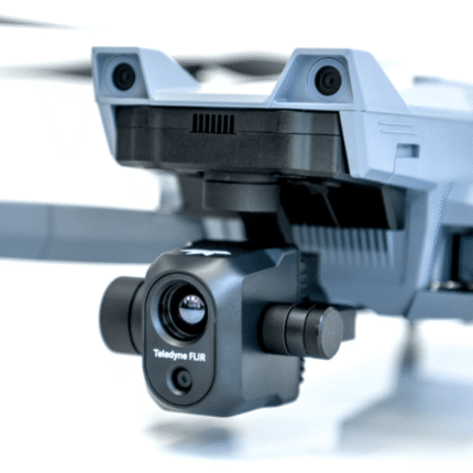
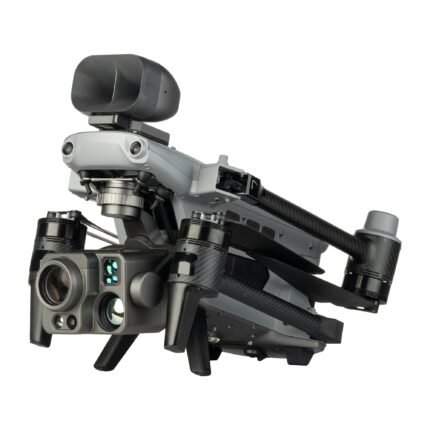
Velodyne’s VLP-16 LiDAR combines a small form factor with mapping grade accuracy. The Inertial Labs RESEPI IMU has best-in-class performance with a roll & pitch accuracy of 0.006 degrees and heading accuracy of 0.03 degrees. In addition a 26 MP camera is included for a colorized point cloud. At 165 feet flight altitude, and a speed of 11 mph, the system accuracy is 4-6 cm.
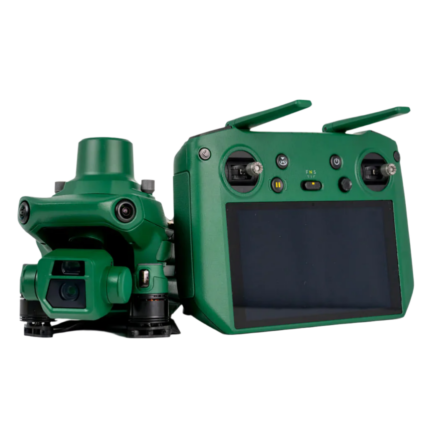
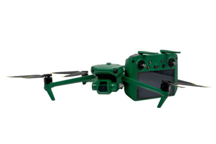
This kit includes everything needed to integrate the LiDAR with your DJI M300 or M350 RTK or IF800 Tomcat. It also includes a 1 year license of PCMaster for LiDAR colorization and geo referencing. The only requirements on your base station are that it stores a RINEX file. The Emlid Reach RS2+ is compatible and sold and supported by E38. A complete base and rover setup is available for storing GCPs.
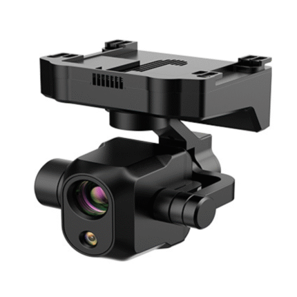
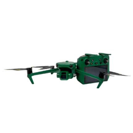
RESEPI Velodyne VLP-16 with 26 MP Camera
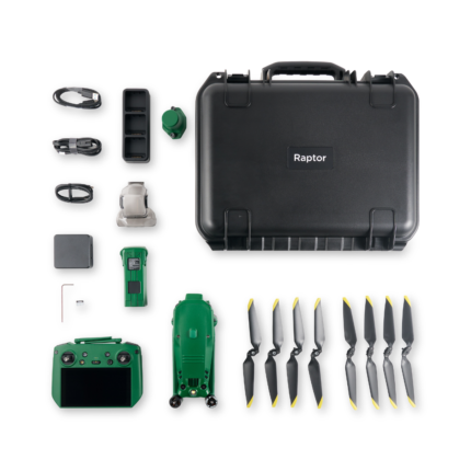
In the box:
- RESEPI Velodyne VLP16 with 26MP Mapping Camera, 16mm Lens, and Single Antenna NovAtel GNSS Receiver
- Full accessory set for integration with the M350/M300 RTK or IF800 Tomcat, vibration Isolator Kit and payload antenna
- Protective Hard Case
- 1 Year License of PCMaster
PCMaster
Reviews (0)
Shipping and Delivery


Reviews
There are no reviews yet.