


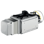

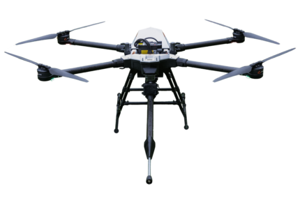
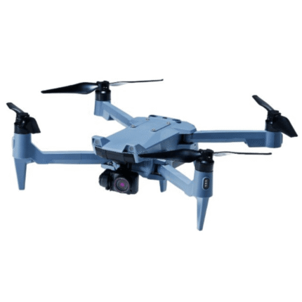
RESEPI Ouster REV7 OS1-64 Drone LiDAR Kit
$27,900.00
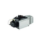
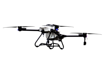
RESEPI Velodyne VLP-16 Drone LiDAR Kit
$20,519.40
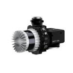
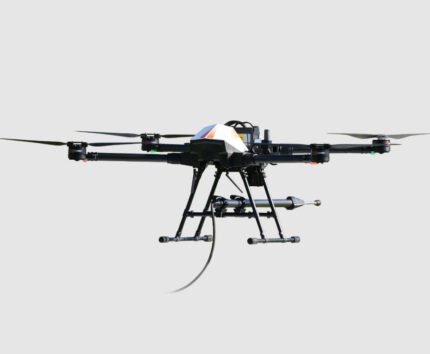
RESEPI Teledyne Optech CL-360HD Drone LiDAR Kit
$92,400.00
180 in stock
Description
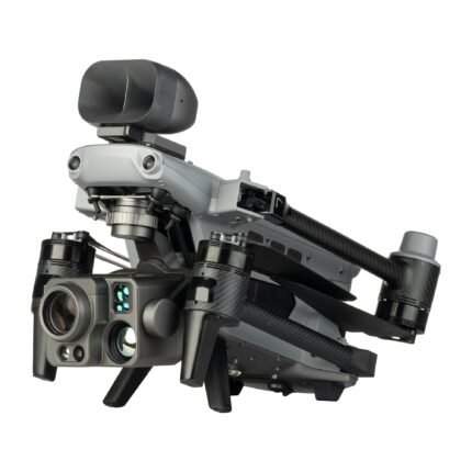
The Teledyne Optech CL-360HD LiDAR module boasts the most accurate drone LiDAR available, with a system accuracy of 1 cm. The four returns offers the best performance in vegetation. The Inertial Labs RESEPI IMU has best-in-class performance with a roll & pitch accuracy of 0.006 degrees and heading accuracy of 0.03 degrees. Combining the best IMU with the best drone LiDAR module results in the most accurate drone LiDAR in its class. At 165 feet flight altitude, and a speed of 11 mph, the vertical accuracy of the system is better than +/- 1 cm.
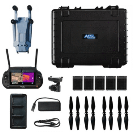
This kit includes everything needed to integrate the LiDAR with your DJI M600. It also includes a 1 year license of PCMaster for LiDAR processing and geo referencing. The only requirements on your base station are that it stores a RINEX file. The Emlid Reach RS2+ is compatible and sold and supported by E38. A complete base and rover setup is available for storing GCPs.
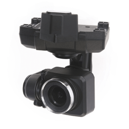
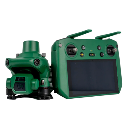
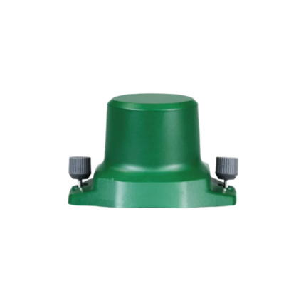
RESEPI Teledyne Optech CL-360HD
In the box:
- RESEPI Teledyne Optech CL-360HD and Single Antenna NovAtel GNSS Receiver
- Full accessory set for integration with the M600
- Protective Hard Case
- 1 Year License of PCMaster
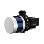
PCMaster
Reviews (0)
Shipping and Delivery


Reviews
There are no reviews yet.